Chat with us on WhatsApp

Mamastops Fleet Radar

Your fleet, on one live map

Fleet Radar is the mobile command surface for live fleet operations. It reads the telemetry already coming off your vehicles — position, fuel, sensors, terrain — and puts it in the hands of the people who have to make a call about it, wherever they happen to be standing.

An iOS app is in preparation.

What Radar tracks

GPS tracking

Every vehicle on one live map.

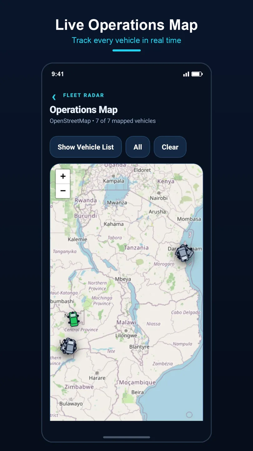
Positions stream in from Teltonika hardware fitted to the fleet and land on an operations map covering the whole corridor — Zambia, Tanzania, Malawi, Mozambique, and across. Filter to a group or a single truck, or open the vehicle list and work down it. Each fix carries a server-side timestamp, so you can tell a moving truck from a stale reading rather than guessing.

  • Live positions with speed, heading, and ignition state
  • Filter by company, group, or individual vehicle
  • GPS freshness and satellite quality reported per vehicle
  • Odometer and trip history behind every marker
DepotBorderLive

Fuel tracking

See the fuel that never made it into the tank.

Fuel level is sampled continuously, so a refuel shows up as a step change and a drain shows up as one too. The Refuel and Drain report turns that into a list you can act on — which vehicle, when, how much — instead of a monthly reconciliation that arrives too late to do anything about.

  • Continuous tank-level monitoring per vehicle
  • Automatic refuel and drain detection
  • Consumption against distance travelled
  • Cross-checks against cashless fuel drawn on the Mamastops network
RefuelDrain detectedFullEmpty

Humidity and temperature sensors

Proof the cold chain held.

Where a trailer carries environmental sensors, Radar reads them alongside the position data. You see the cabin or container conditions on the same screen as the truck, and the history travels with the consignment — which is what a customer asks for when produce or pharmaceuticals arrive and someone needs to show the load stayed in range the whole way.

  • Temperature and humidity readings tied to the vehicle and time
  • History retained alongside the trip record
  • Readings visible next to position, so an excursion has a place attached
  • Exportable with the rest of the fleet reporting
ExcursionTemperatureHumidityIn range

Altitude mapping for EVs

Range is a function of terrain, not distance.

An electric truck's usable range on the Great North Road is not the range it had on the flat. Radar records altitude along the route, so the climbs and descents on a corridor become visible as a profile rather than a surprise. That is what makes it possible to plan a charging stop that survives contact with the actual road.

  • Altitude captured along the travelled route
  • Elevation profile per leg of a corridor
  • Supports range and charge-stop planning for electric fleets
  • Works alongside the same GPS and consumption data
Charge stopEscarpmentHighLow

Read off every vehicle

The signals underneath the headline features. Individually they are small; together they are what turns a dot on a map into an account of the vehicle's day.

06:0018:00Engine on

Ignition

Engine-on and engine-off, timestamped. That is what separates a truck that is working from one that is parked with the key in it, and it is the base measure behind idling, utilisation, and after-hours use.

41826km

Odometer

Distance read off the vehicle rather than inferred from the map, so service intervals, per-km costing, and fuel consumption all rest on the same number the workshop sees.

EnterExit

Geofences

Draw a zone around a depot, a customer yard, a border post, or a fuel station, and every entry and exit is logged with a time — including the ones nobody radioed in.

Trip replay

Run the trip again, and see what the day actually did

Live tracking answers "where is it now?". Most of the questions that cost money are asked afterwards — why the delivery was six hours late, why the fuel does not reconcile, why a customer is disputing a waiting-time charge. Replay takes a completed trip and runs it back, flagging what happened and where, so the conversation is about a timeline rather than a recollection.

OverspeedLong stopNo signalHarsh brakeTrip startTrip end

Overspeed

Where the truck exceeded the limit set for it, for how long, and over which stretch of road — not a single peak reading, but the duration that actually carries risk.

Long stops

Stops beyond the threshold you set, with the location attached. A planned rest, a queue at the border, and an unexplained two hours look identical on an invoice; they do not look identical here.

Unreachable patches

Stretches where the device stopped reporting. Some are genuine coverage holes on the corridor and some are not, and knowing which stretch went quiet is the difference between the two.

GPS quality

Satellite quality and position freshness along the trip, so a stationary marker can be read correctly — a truck that is parked, or a fix that went stale an hour ago.

Harsh driving

Harsh acceleration, braking, and cornering, placed on the route. Patterns cluster by driver and by road, which is what makes them worth coaching against rather than just logging.

Inside the app

Fleet Radar operations map showing tracked vehicles across the Zambia, Tanzania, and Mozambique corridor
Live operations map — every mapped vehicle, filterable by group.
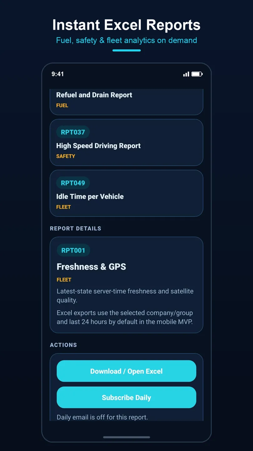
Fleet Radar report catalogue listing fuel, safety, and fleet reports with Excel export
Report catalogue — fuel, safety, and fleet analytics, exported to Excel on demand.
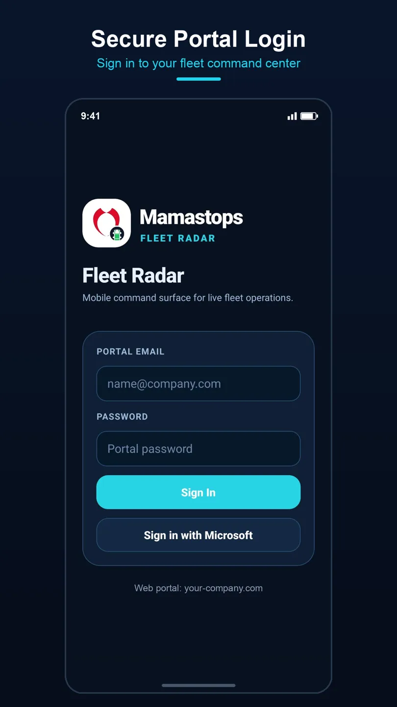
Fleet Radar sign-in screen with portal email, password, and sign in with Microsoft
Portal sign-in, with Microsoft SSO where your organisation uses it.

Reports you can send to someone

Everything Radar tracks is available as a report, exported to Excel from the phone and optionally emailed to you on a daily schedule. Refuel and drain, high-speed driving, idle time per vehicle, GPS freshness — pick the report, pick the group, and send it on to the person who needs to act.

See it against your own fleet

Radar accounts are provisioned by Mamastops as part of onboarding — there is no self sign-up. Tell us what you run and where it runs, and we will show you the map with your vehicles on it.